
LOCAL WALKS
Cheviot WALKING TRAILS
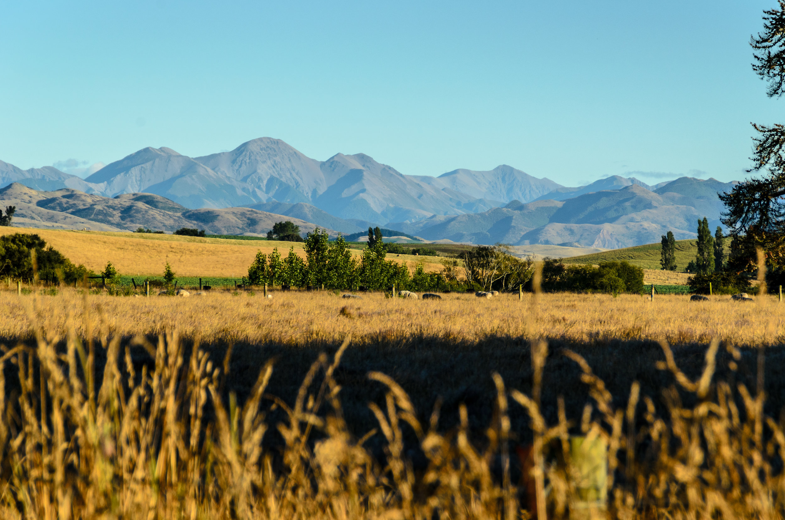
The Cheviot Area offers plenty of places to stretch your legs and admire some of the country's best scenery.
Follow the Ready Money Trail through Cheviot Hills Reserve – don't miss the famous daffodils in Spring – or explore the dramatic coastline and river mouths further afield.
KAIKOURA COAST TRACK
Distance: 26km
Fitness Level: Intermediate
Restrictions: Open October to April
The Kaikoura Coast Track is a hidden gem of the South Island. The track covers 26km of stunning scenery. Luggage transported between the two nights accommodation. Each day you'll hike for 4-6 hours giving you plenty of time to soak it all in.
MANUKA BAY TRACK
Distance: 6km return
Fitness Level: Intermediate, easy tramping track
Restrictions: Closed for lambing 15 August to 15 October each year.
From Manuka Bay, follow the winding track through coastal vegetation to the spectacular Hurunui River mouth.
READY MONEY TRAIL
Distance: 3km
Fitness Level: Easy - mixed use track
A beautiful circuit through the woodlands of the historic Cheviot Hill Reserve.
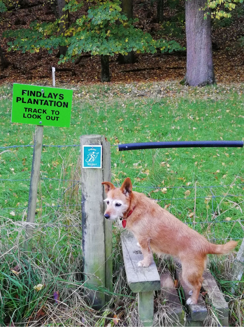
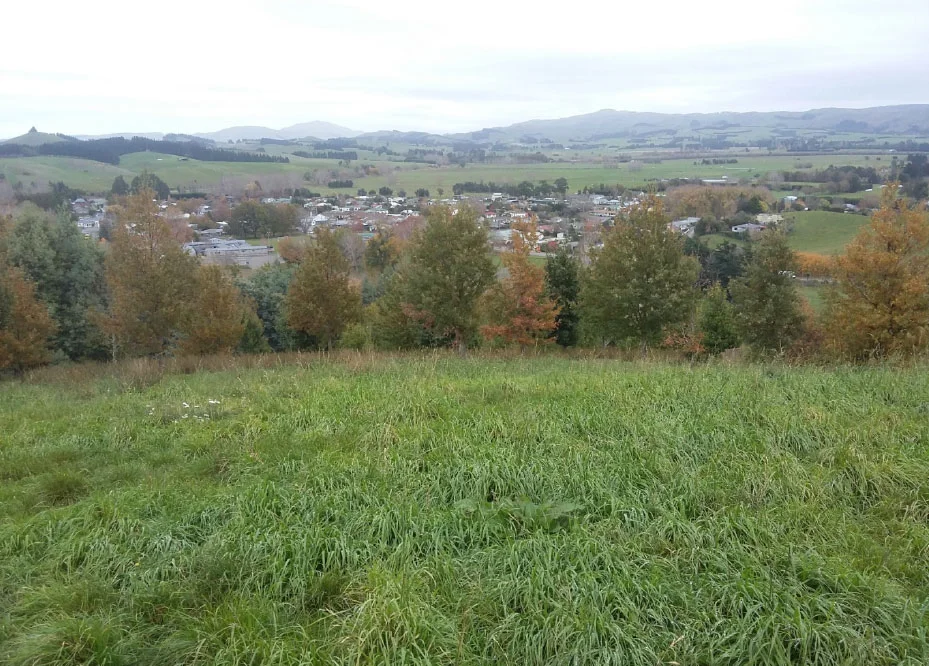
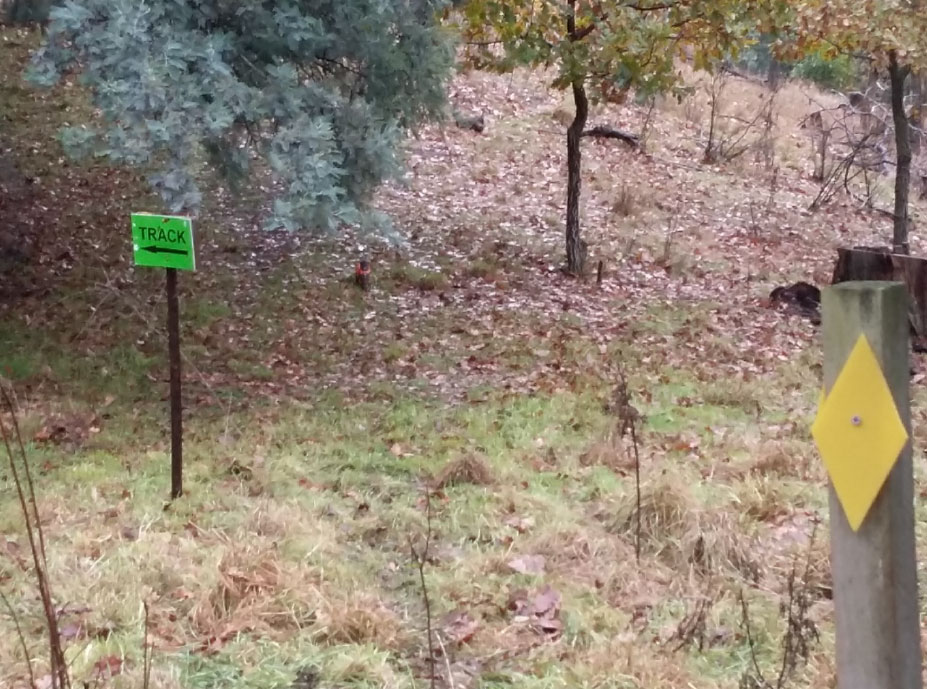
Findlay’s Lookout track
Distance: 30 minutes return
Fitness Level: Easy - mixed use track
Drive or walk along Caverhill road past the school and around the right hand bend. About 100m further along the gravel road (on the left) there is a style to allow you across the fence. There is a small sign post at the style “Findlay’s Lookout track”
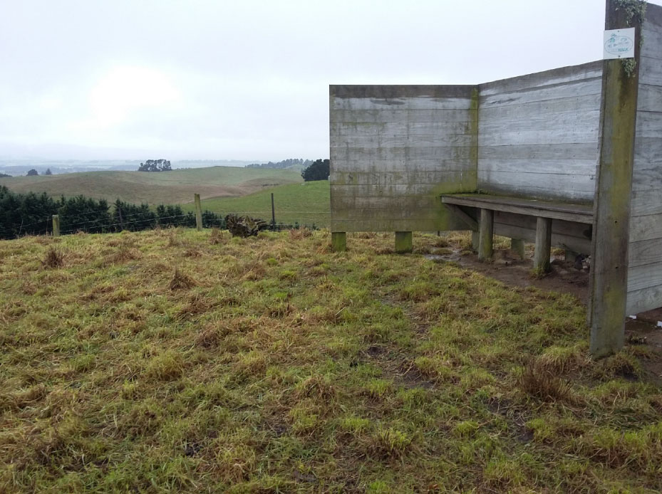
Walk directly across the paddock to the tree line, then turn left and follow the treeline along the bottom of the slope till a signpost indicates turning uphill. It is a undeveloped track so logs have been placed along path to indicate proposed direction. Generally uphill to the seat at the top. A great view of Cheviot Village looking back at it from a north position. The seat at the top has a wooden shelter protecting the seated from the easterly wind.
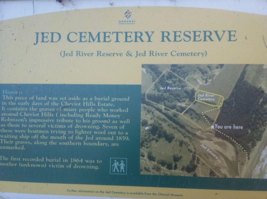
Jed Vale Cemetery Walk
Distance: 45 mins return
Fitness Level: Easy - mixed use track
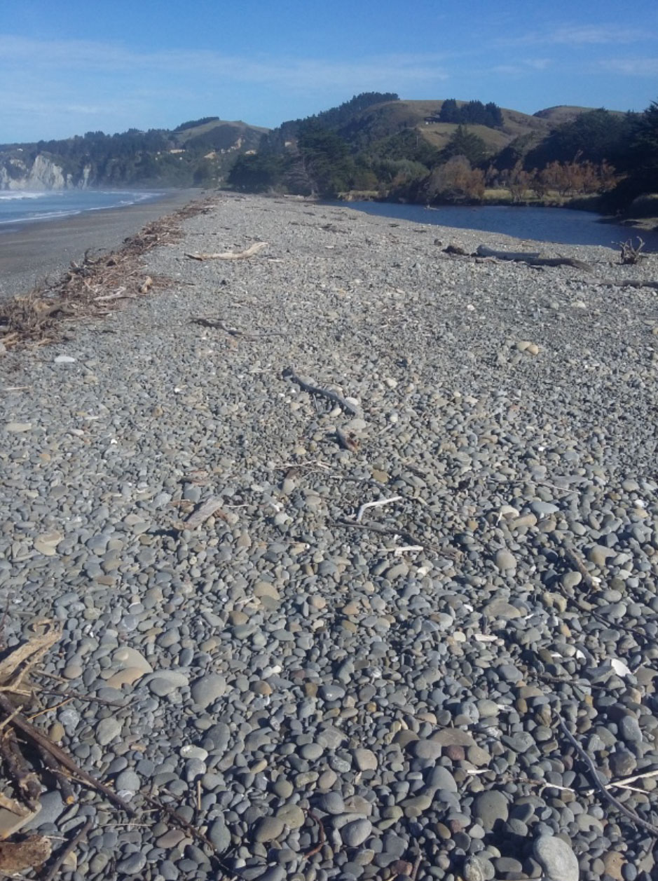
Park at the Gore bay children’ play ground at the north end of Gore Bay – just to the south of the Buxton Camping ground.
Walk north along the beach.
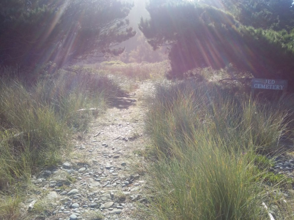
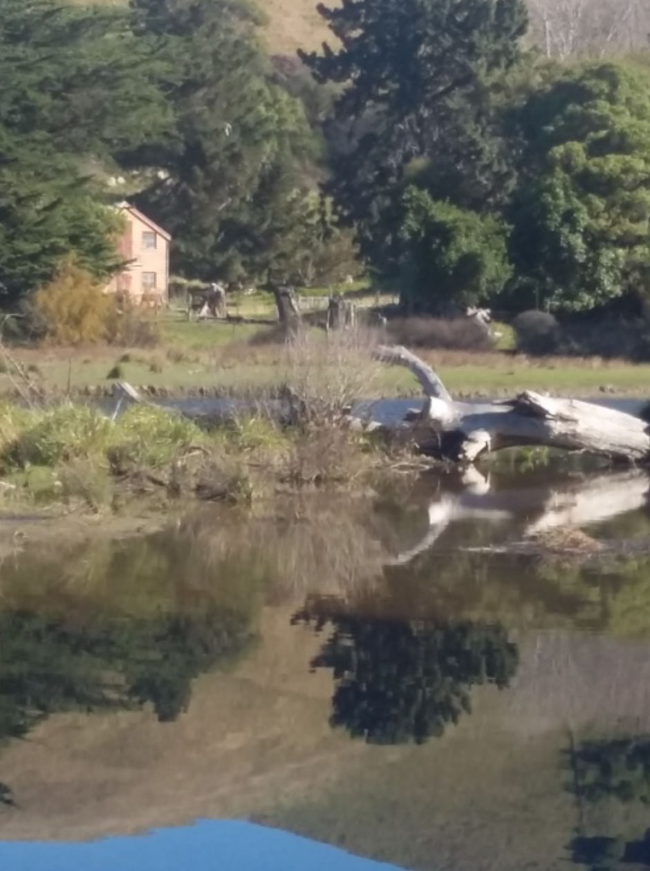
As you pass the low land where the Jed river estuary is located, move up the beach above the high tide mark. Shortly after the estuary you’ll notice a sign in the shrubs marking the “Jed Vale Cemetery”. Follow the path along the north side of the estuary – water birds and rural scenery abound for the odd photo stop. The path clearly winds up the slope to the cemetery which has some council provided descriptions and a few marked graves. Please be respectful of the graves – they are local resident’s ancestors. Beware of you footing in the long grass as the ground is uneven.
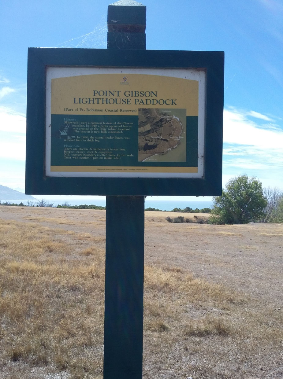
Point Gibson Lighthouse
Distance: 10 mins return
Fitness Level: Easy - mixed use track
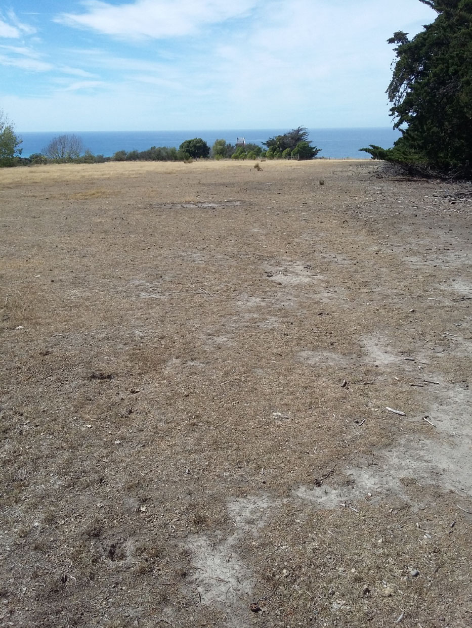
Drive south from Gore bay beach for about 10 minutes. You’ll pass the Port Robinson side road and then the next left will be the Manuka bay side road.
Drive to the gate on Manuka Bay Road (the gate marks the point where the road descends to the beach) and you’ll see a parking area to the left. Park and then negotiate the fence / gate. Walk across the paddock towards the coast and you find the Point Gibson lighthouse amongst the shrubbery. A good view up and down the coastline can be head from here.